Seismic risk continues to hold back new construction in several fajãs on São Jorge's north coast
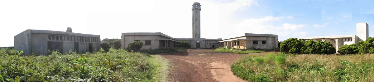
A memory that has not faded
The 1980 earthquake still shapes the island's urban planning.
Risk mapping and rejected permits
Several fajã stretches are classified as unsuitable for new construction.
The property sector, caught between caution and demand
Buyer enquiries continue despite the restrictions and insurance difficulties.
A forced coexistence with risk
Plans are under study to update the island's risk mapping.
The 1980 earthquake and its direct consequences
The earthquake of 1 January 1980 caused severe damage in Terceira and in São Jorge's fajãs, leaving numerous homes destroyed or uninhabitable and forcing a rehousing effort that in some cases dragged on for years. That experience marked a turning point in how regional authorities approach granting building permits in coastal areas with geological risk.
The difficulties of insuring a home in a fajã
Several insurance companies charge higher premiums or refuse outright to cover homes located in fajãs classified as risk zones, which complicates both purchase and mortgage financing in these locations. Potential buyers often have to turn to specific, more expensive policies, when they manage to find them at all — a factor many local estate agents identify as one of the main brakes on buying and selling in these areas.
Comparison with other risk zones in the archipelago
Similar restrictions exist on other Azorean islands exposed to seismic or volcanic risk, though the experts consulted note that the particular topography of the fajãs — narrow strips of land between the sea and the cliffs — heightens the risk from phenomena such as landslides and coastal flooding, beyond seismic risk itself.
Updating the maps, a slow process
The review of the risk maps that determine which fajã stretches are suitable for new construction is moving slowly, partly due to the need for detailed geotechnical studies along each stretch of coast. Meanwhile, owners of land already classified as unsuitable are seeking compensation, a matter the regional authorities have yet to resolve definitively.
More in News
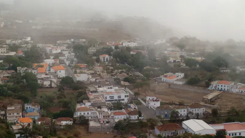
Brava, Cape Verde's smallest island, watches its houses empty out in step with emigration
With just a few thousand inhabitants and a population that keeps shrinking, Nova Sintra has a property market that is nearly frozen, kept alive solely by diasp…
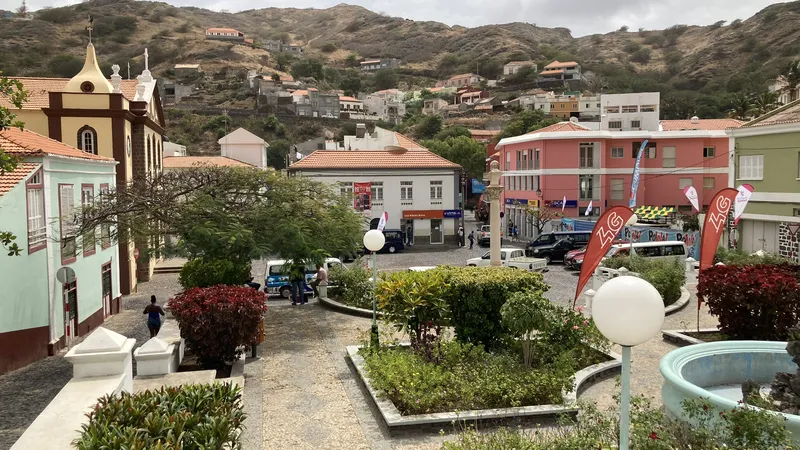
Ribeira Brava holds steady prices as emigration sets the market's pace
In São Nicolau, remittances from the diaspora sustain the building of family homes, but a lack of local buyers leaves a housing stock with many houses shut for…
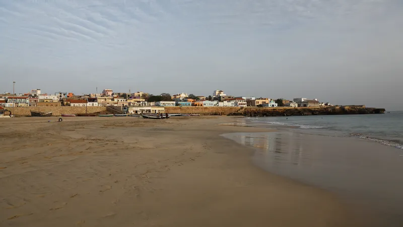
Maio, the island where buying a home is still nearly impossible for lack of supply
With the least developed property market in all of Cape Verde, Vila do Maio records barely any sales, while emigration leaves homes standing empty, neither sol…
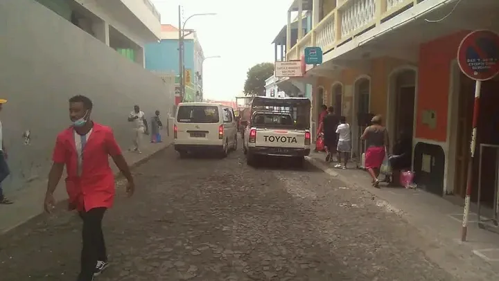
Volcanic risk is already shaping house prices in São Filipe
At the foot of the Pico do Fogo volcano, memories of the last eruption continue to weigh on the value of homes near the caldera, while São Filipe's town centre…